
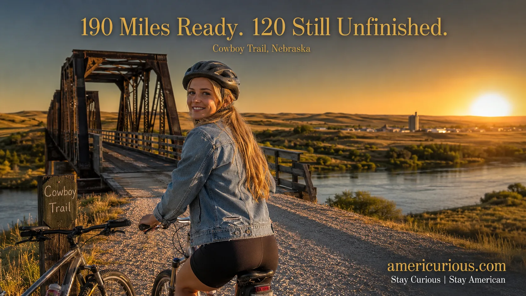
Norfolk, NE just hit the Great American Rail-Trail’s halfway point in July 2026. See the honest Cowboy Trail Nebraska guide: real towns, costs, gaps, and timing.
The Morning Battle Creek, Nebraska Became the Middle of the Country
Picture six people on bikes, sunburned in that specific July-in-Nebraska way, rolling into a town of about 1,100 people with a police escort and a picnic lunch waiting. That’s Battle Creek on the afternoon of July 3, 2026 — the exact halfway point, give or take a pedal stroke, of a bike route that starts at the U.S. Capitol and ends on the Pacific coast of Washington State.
The riders were six veterans on what’s called the Warrior Bike, a partnership between Rails to Trails Conservancy and Warrior Expeditions, an outdoor-therapy nonprofit for vets transitioning out of military life. They’d left Washington, D.C. on Memorial Day weekend. By the Fourth of July, they were standing in Ta-Ha-Zouka Park in Norfolk, Nebraska, at Visit Norfolk’s annual Freedom Fest, having just crossed the literal midpoint of the Great American Rail-Trail — the first-ever cross-country, car-free bike route in U.S. history, once it’s finished. Nebraska Game & Parks Commission staff were there. So was Visit Norfolk executive director Traci Jeffrey, who told local media the moment marked <cite index=”54-1″>”the midpoint of their journey across the country.”</cite> The timing wasn’t an accident, either — this whole leg was built around America’s semiquincentennial, the 250th birthday the country’s throwing itself this year, and Norfolk decided its own Independence Day party was the right stage for it.
Here’s the thing nobody covering that feel-good news clip bothered to mention: what those veterans actually rode through to get there is one of the strangest, most underrated infrastructure stories happening in rural America right now — and it comes with a catch that every glossy write-up since has conveniently left out.
Let’s get into it.
So — Can You Actually Ride the Cowboy Trail Right Now?
Quick answer: Yes, and it’s genuinely one of the best rail-trail rides in the country — but “the Cowboy Trail” and “the Great American Rail-Trail” are not the same finished product, and conflating them is how a lot of well-meaning cyclists end up standing at a dead-end gravel road forty miles from the nearest gas station. The developed, ride-it-today core of Nebraska’s Cowboy Trail runs roughly 190 to 200 miles between Norfolk and Valentine (sources measure from slightly different trailheads, which is why you’ll see anything from 187 to 203 in official material), crushed limestone the whole way, rolling through 29 small towns spaced about 10 to 15 miles apart. That part is real, it’s rideable, and it’s free.
What’s not finished: the roughly 120 to 126 miles west of there, out toward Chadron, Nebraska, which is still gap and development country — plus a fresh, separate 15-mile stretch between Gordon and Rushville that Nebraska Game & Parks recently completed but hasn’t yet connected to the main trail. If your dream is riding coast to coast on the Great American Rail-Trail today, you can’t, not in Nebraska and not anywhere else — Rails to Trails Conservancy’s own 2026 route assessment puts the full 3,700-mile national vision at a little over half complete. If your dream is a genuinely great multi-day bike trip through Sandhills prairie and 130-year-old railroad bridges, the Cowboy Trail delivers that in spades, today, no asterisk required.
From Cattle Cars to Bike Tires: How a Railroad Ghost Became America’s Third-Longest Trail
Before it carried cyclists, this corridor carried cattle. The Chicago and North Western Railway laid track across northern Nebraska in the 1880s, and for a hundred years it was the lifeline hauling Sandhills beef, grain, and mail between towns that otherwise had nothing connecting them but gravel roads and a lot of open sky. Those old railroad surveyors, without meaning to, did modern cyclists a favor: locomotives can’t handle a steep grade, so the whole corridor was built with a gentle two-percent slope or less and wide, sweeping curves — which is exactly what makes a rail-trail so pleasant to ride a century later. Your legs are, in a very real sense, benefiting from an 1880s engineer’s stubborn insistence that a train shouldn’t have to strain.
When the rail traffic dried up in the late 20th century, Nebraska did something a lot of states talked about but few actually pulled off: it railbanked the corridor instead of letting the right-of-way revert to adjacent landowners, worked through the interstate approval process with the old railroad’s successor, and in 1996 opened it as the Cowboy Recreation and Nature Trail. Nearly thirty years later, it’s the third-longest rail-trail in the country, and — almost accidentally — it turned out to be the exact spine the Great American Rail-Trail needed to cross Nebraska. RTC’s own materials note the Cowboy Trail carries trail users roughly 40% of the way across the state’s total planned mileage on the national route, which is a fairly staggering amount of lifting for one converted cattle line to do. Along the way, it also passes through genuine Sandhills country — grass-stabilized dunes that geologists consider the largest of their kind in the Western Hemisphere, which is a heck of a thing to pedal through on what used to be a cattle spur.
It’s a familiar shape if you’ve read much of what we cover here — a piece of infrastructure nobody thought twice about walked away, and a couple decades later it’s the thing quietly holding a region’s future together. We’ve told a version of that story out in the North Dakota Badlands-to-Fargo road trip, where a $450 million presidential library did something similar for a stretch of the state everybody used to just drive past.
What $161 Million Actually Bought (And What It Very Much Didn’t)
Here’s where the press releases and the reality start to diverge a little, so let’s separate them.
Nationally, Rails to Trails Conservancy says more than $161 million in public and private funding has gone into the Great American Rail-Trail since the route was formally introduced in 2019, and the project is now roughly 56% complete, with more than 160 additional miles currently under active development. That’s real money — federal Recreational Trails Program grants, state appropriations, Community Development Block Grants, and a genuinely large pile of individual and corporate donations, not marketing copy dressed up as infrastructure.
What it bought, on the ground in Nebraska: bridge decking and safety railing on the trail’s two showcase spans (the quarter-mile, 148-foot-high former railroad trestle over the Niobrara River east of Valentine, and the 595-foot, 145-foot-high bridge at Long Pine), crushed-limestone resurfacing through towns like Ainsworth and O’Neill, and the freshly opened Gordon-to-Rushville segment further west. What it didn’t buy: a finished trail. Nebraska’s own trail notices as of this year flag that the Cowboy Trail is closed in several spots along the route — not hypothetically, not “someday,” but right now, this season — and an AllTrails rider who logged 140 miles on the trail this year documented a washed-out bridge near Long Pine that forced a detour onto Highway 20 for a mile and a half. That’s not a knock on the project. It’s just the honest state of a 130-year-old railroad grade being rebuilt town by town, on real budgets, on real timelines.
Economically, the projections are genuinely exciting — Headwaters Economics, working with RTC, estimates the finished national trail could generate $229.4 million a year in new visitor spending, with Nebraska’s specific slice pegged at roughly $14.5 million annually and 170 new jobs. Worth saying plainly: those are RTC-commissioned projections for a not-yet-finished trail, not audited results. Treat them as a credible forecast, not a receipt.
Town by Town: Where to Actually Stop Between Valentine and Norfolk
This is the part every generic “epic Cowboy Trail adventure” listicle skips, because it takes actually knowing the towns instead of describing the trail in the abstract.
| Town | What It’s Actually Good For |
|---|---|
| Valentine | Western trailhead, gateway to the Niobrara National Scenic River (tubing, kayaking) and Fort Niobrara Wildlife Refuge; the tallest waterfall in Nebraska, Smith Falls, is a short drive out of town |
| Long Pine | The showcase 595-foot bridge and Long Pine State Recreation Area’s spring-fed swimming hole — bring a swimsuit, not just a water bottle |
| Ainsworth | County seat feel, reliable services, and the point where riders report the trail surface noticeably smooths out heading west |
| Bassett | Home of the Bassett Lodge & Range Cafe — get the milkshake, everyone who’s ridden this trail tells you to get the milkshake |
| Newport | Blink-and-you’ll-miss-it small, but the Newport Pool Hall is a real, functioning small-town institution worth the five-minute stop |
| O’Neill | One of the larger towns on the route, with concrete trail sections and a full range of restaurants and lodging |
| Neligh | Home to a solemn stop at the White Buffalo Girl memorial, honoring a Ponca child lost during the tribe’s forced removal in the 1870s |
| Norfolk | Eastern trailhead at Ta-Ha-Zouka Park, the biggest town on the route, and — as of July 2026 — the trail’s own halfway-point claim to fame |
Almost every one of these has somewhere to camp, eat, and restock, and Nebraska Game & Parks notes towns along the route post QR codes with local visitor info right on the trail signage — a nice, low-tech touch for a low-tech trail.
Who Should Ride This Trail Right Now, and Who Should Give It Another Year
The day-tripper. You want a Saturday out-and-back, maybe the Long Pine bridge and a swim after. This is an easy yes — pick any developed stretch, and you’ll have a great afternoon without needing to think about the western gaps at all. Verdict: go this weekend if you want.
The multi-day tourer. You’re picturing four or five days, town to town, gear on the bike, the whole Sandhills-to-railroad-town arc. The Norfolk-to-Valentine core delivers this beautifully, but plan your route to end in Valentine, not to keep pedaling hopefully toward Chadron — that stretch isn’t there yet, and you don’t want to find that out sixty miles from the nearest paved road. Verdict: book it, but plan your exit at Valentine.
The family with kids. Younger riders do best on shorter, flatter segments with a payoff at the end — Long Pine’s swimming hole or a milkshake stop in Bassett work perfectly as a turnaround point. The trail’s gentle, sub-2%-grade rail-bed makes this genuinely kid-friendly, a legacy of railroad engineers a century ago who never once thought about cyclists. Verdict: excellent, if you keep daily mileage modest and build in a reward stop.
The Honest Catch: The 120 Miles Nobody’s Advertising
Here’s the part your Instagram feed of the veterans’ ride absolutely will not show you.
First, the western half of the vision — Valentine or Gordon out to Chadron — simply isn’t built. RTC’s own route assessment discloses this, but you have to go looking for it in a PDF, not a headline. If your trip plan depends on that stretch existing, it doesn’t, not yet.
Second, “developed” doesn’t mean “flawless.” Bridge closures, detours, and rough patches show up in real time on Nebraska’s own trail-status notices and in rider reports from this year — not a dealbreaker, but pack a phone with offline maps and don’t assume every mile will match the brochure photo.
Third, this is genuinely remote country. Restrooms and water fountains aren’t a trail feature — they’re a town-park feature, so plan your stops around the 10-to-15-mile town spacing, not around convenience.
None of that means skip it. It means go in knowing the difference between the trail that exists and the trail that’s still a line on a map.
Before You Go: The Boring Stuff That Saves Your Trip
Quick, unglamorous, entirely necessary details. The Cowboy Trail itself is free — no user fee to ride it. But some trailheads and parking areas sit inside Nebraska state park or recreation land, which requires a park entry permit: $6 a day for Nebraska residents, $8 for non-residents, or an annual pass if you’re the type who’ll be back. Bring a mountain or hybrid bike with wider tires; a skinny-tired road bike will have a miserable time on crushed limestone. Class I, II, and III e-bikes are allowed, which matters if Dana’s crew includes someone who hasn’t been on a saddle in a decade and would rather enjoy the Sandhills than suffer through them. Alcohol is banned on the trail itself, littering carries a genuine $100 fine, and camping, campfires, and firearms aren’t permitted on the corridor — that’s what the town parks along the route are for. The trail is open from half an hour before sunrise to half an hour after sunset, which in a Nebraska August gives you a very generous window.
Should You Book Labor Day Weekend? Ask Yourself These Five Questions
- Are you planning to ride the developed Norfolk-to-Valentine core, not the unfinished western gap?
- Are you comfortable with crushed-limestone gravel rather than pavement (mountain or hybrid tires, not a road bike)?
- Will you check current trail-closure notices before you go, rather than assuming every mile is open?
- Are you okay with towns 10 to 15 miles apart, meaning you plan water and food stops on purpose?
- Do you care more about the ride and the story than about saying you did the “whole” Great American Rail-Trail?
Mostly yes: Book it. Labor Day weekend puts you right behind the trail’s biggest news year yet, the Sandhills will be gold and green, and you’ll be riding a piece of infrastructure that a genuine cross-country milestone just passed through weeks earlier. Mostly no: Give it another construction season or two, then come back for the fuller version — this trail isn’t going anywhere, and neither is that western gap, until Nebraska finishes closing it one grant cycle at a time.
Either way, don’t wait for “finished.” The Cowboy Trail has been quietly good for almost thirty years, long before six veterans and a national milestone put Battle Creek, Nebraska on anybody’s radar. Go ride the part that’s real. Get the milkshake in Bassett. Swim at Long Pine. And when you cross that same quarter-mile trestle over the Niobrara that a Chicago and North Western freight train once rumbled across with a load of cattle, take a second to notice you’re standing on the exact kind of American reinvention we keep finding out here — a forgotten railroad grade that turned into the backbone of the whole country’s next big trail, one small Nebraska town at a time.
Read next: how the North Dakota Badlands-to-Fargo road trip is riding its own 2026 wave, how Winslow, Arizona turned a song lyric into a centennial visitor economy, and why Idaho’s Sawtooth Scenic Byway belongs on the same road-trip list.
Discover more from AmeriCurious
Subscribe to get the latest posts sent to your email.